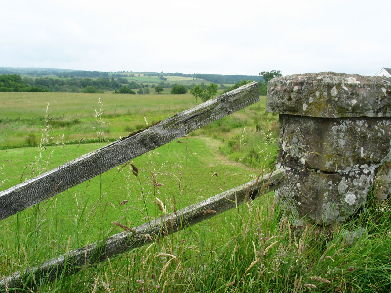
 We stopped for lunch at the Wishingwell Farm and took a little walk in the countryside.
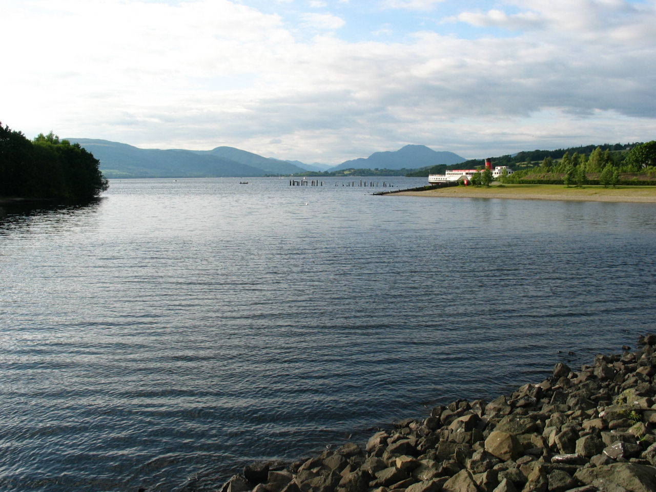
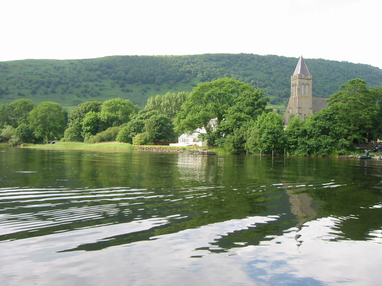 Inchmahome Priory Lake - a beautiful lake near Callandar where we took a boat ride to the
Inchmahome Priory located on an island.
Inchmahome Priory Lake - a beautiful lake near Callandar where we took a boat ride to the
Inchmahome Priory located on an island.
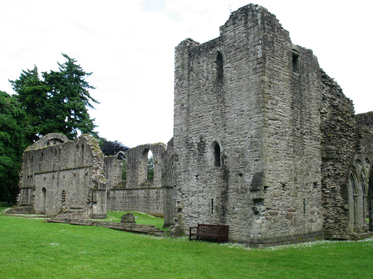 This is what is left of the Inchmahome Priory, obviously no longer in use.
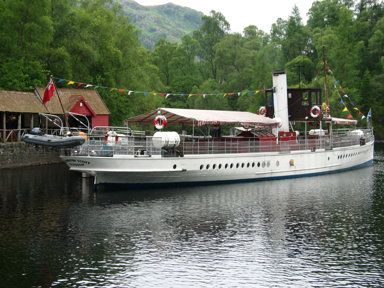 We took a tour of Loch Katrine on the Steamship Walter Scott. The water in the lake is so pure that it is
fed directly into Glasgow's drinking water.
We took a tour of Loch Katrine on the Steamship Walter Scott. The water in the lake is so pure that it is
fed directly into Glasgow's drinking water.
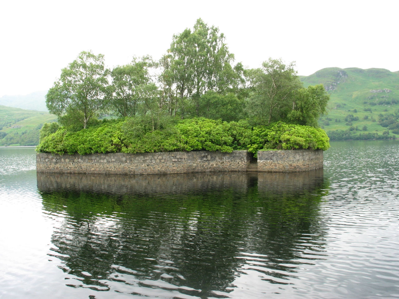 This island, at the far end of Loch Katrine, is where Rob Roy held the Duke captive for a ransom.
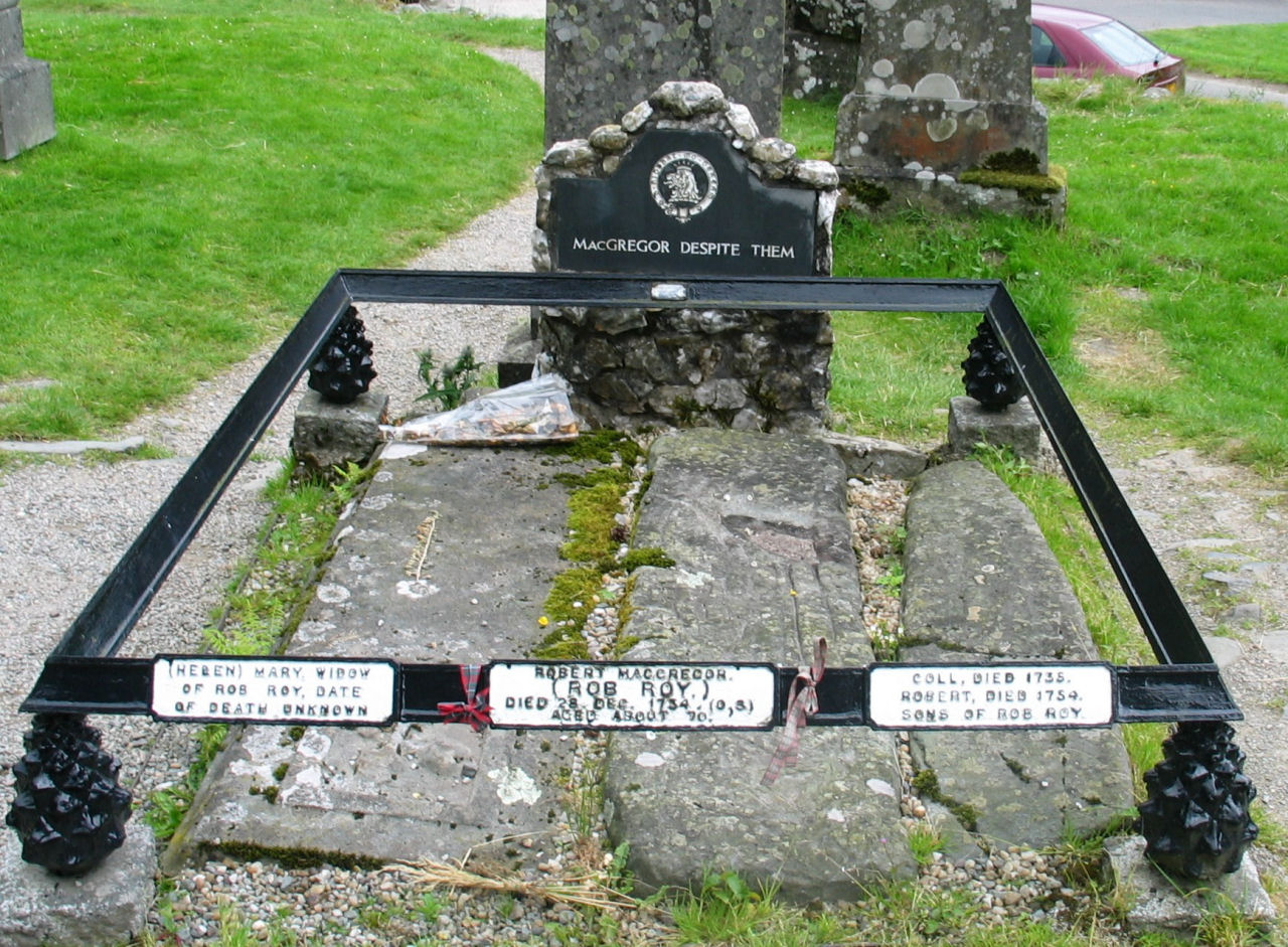 This is the famous Rob Roy's grave, buried with his widow and son. Notice the famous inscription
on the headstone - "MacGregor Despite Them"
This is the famous Rob Roy's grave, buried with his widow and son. Notice the famous inscription
on the headstone - "MacGregor Despite Them"
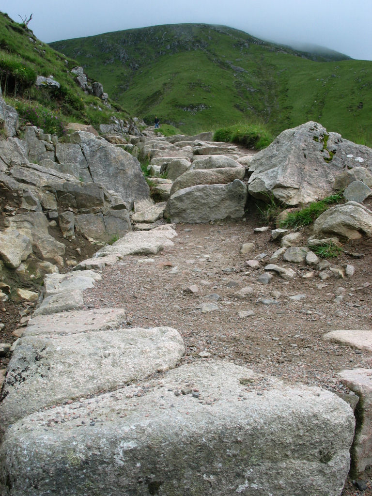
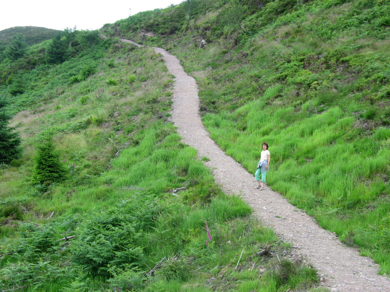 We spent a day at Queen Elizabeth Park where you could hike up to the top of a beautiful vista.

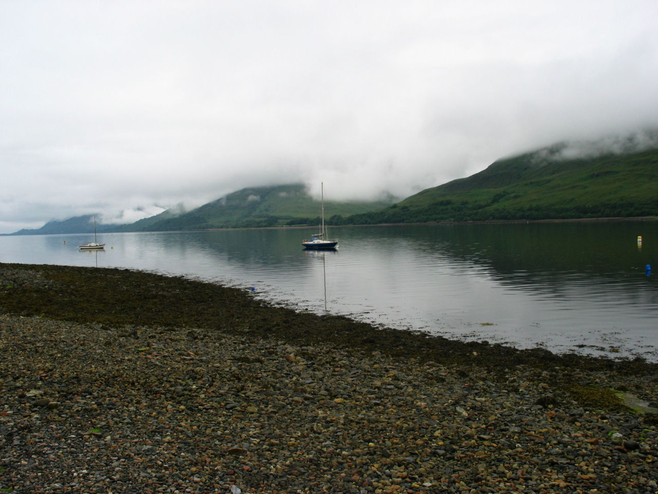
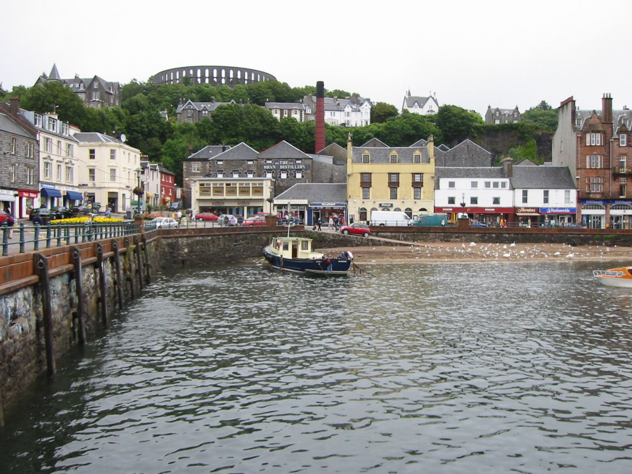 We stayed overnight in Oban Harbour (on the west coast). This is a picturesque town built on a
sharp downslope into the sea.
We stayed overnight in Oban Harbour (on the west coast). This is a picturesque town built on a
sharp downslope into the sea.
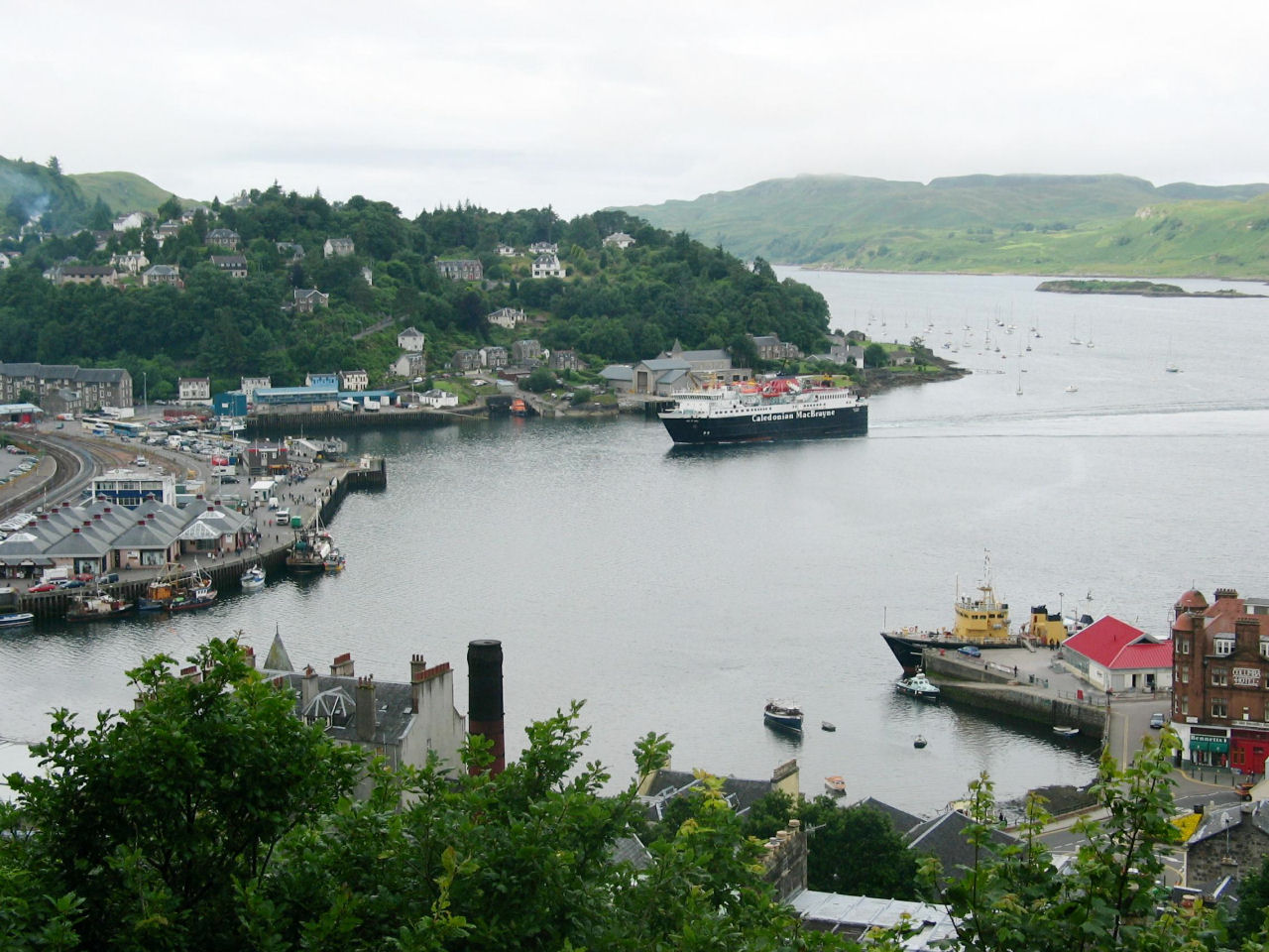 Here you can see one of the island ferries coming into port.
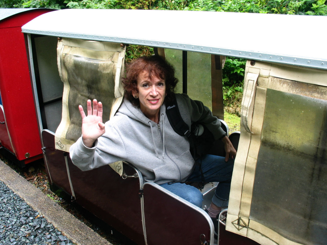 While in Oban, we took the ferry shown in the previous photo over to the Isle of Mull.
There, we took a miniature train ride over to Torosay Castle.
While in Oban, we took the ferry shown in the previous photo over to the Isle of Mull.
There, we took a miniature train ride over to Torosay Castle.
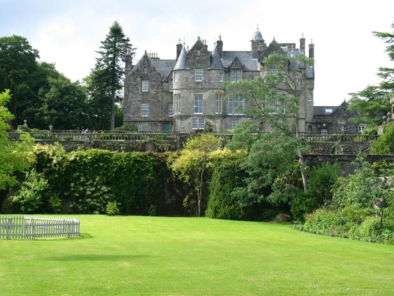 Torosay Castle is privately owned, but you can visit during the day for a fee.
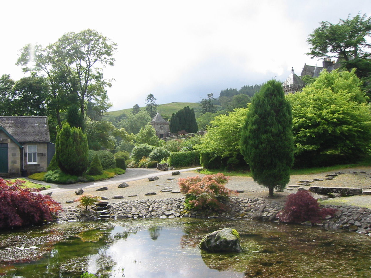
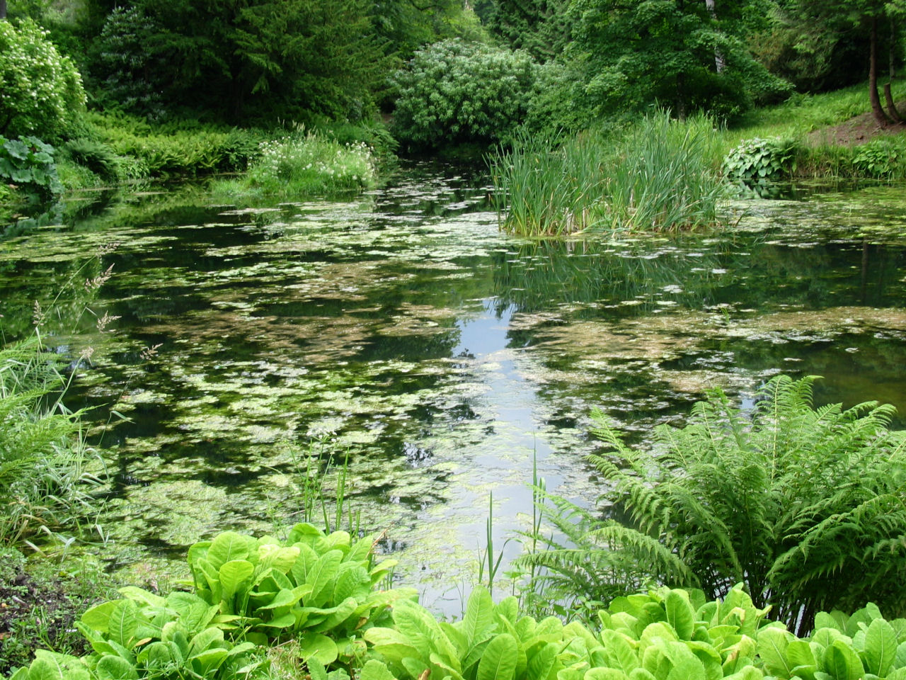 The fees help the owner pay for the upkeep of the castle, including the beautiful gardens pictured here and
in the next photo.
The fees help the owner pay for the upkeep of the castle, including the beautiful gardens pictured here and
in the next photo.
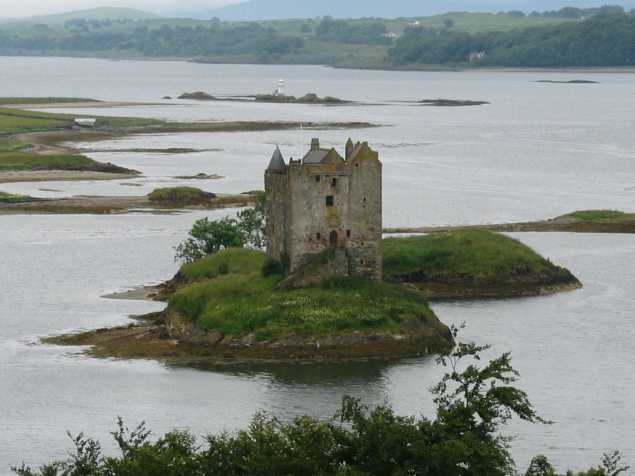 On the way north out of Oban, we passed Stalker Castle located on an island in the Firth of Lorn.
 Along the way we met up with some freely roaming sheep. The mountain is used for downhill skiing in the winter.
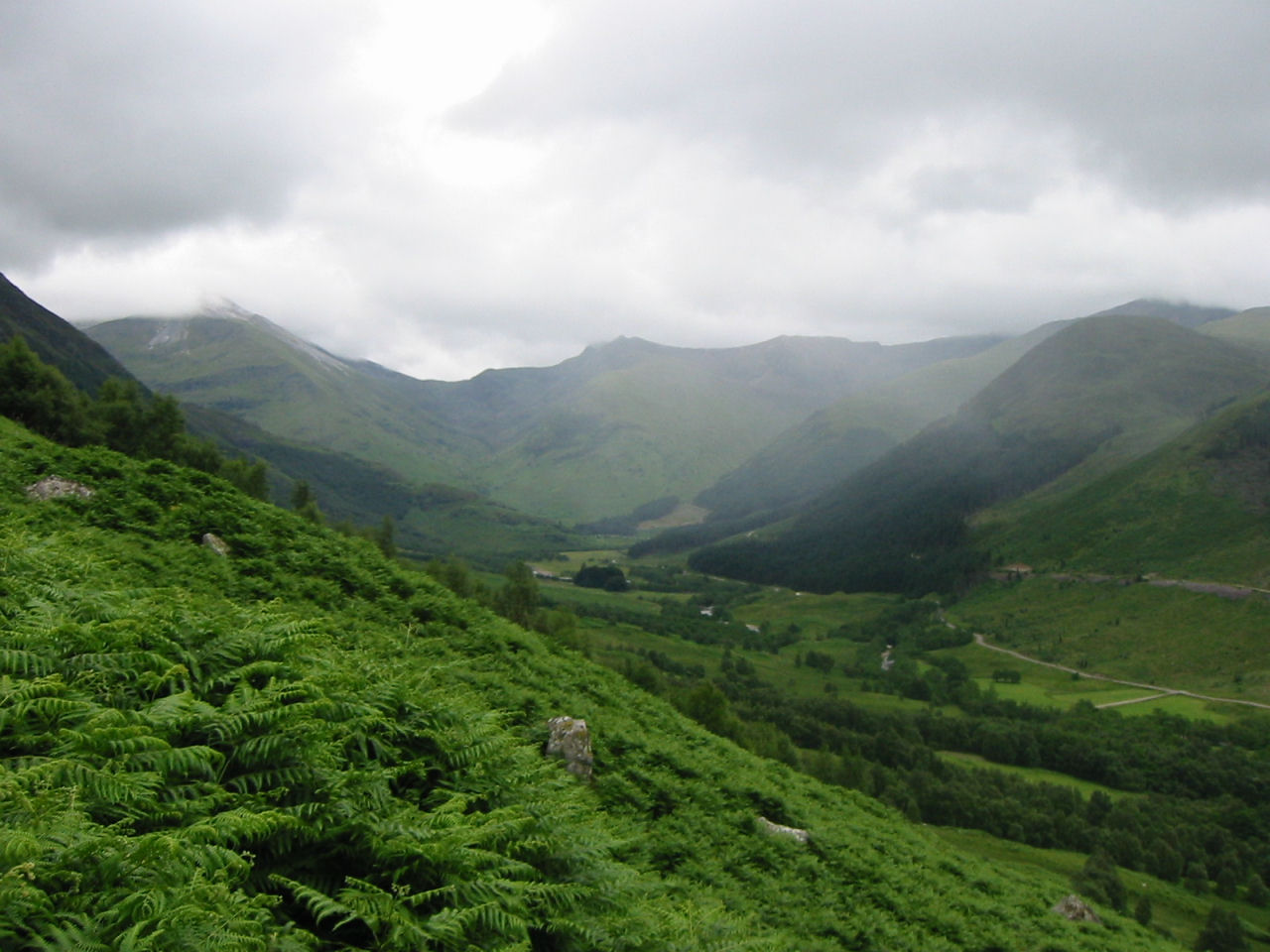
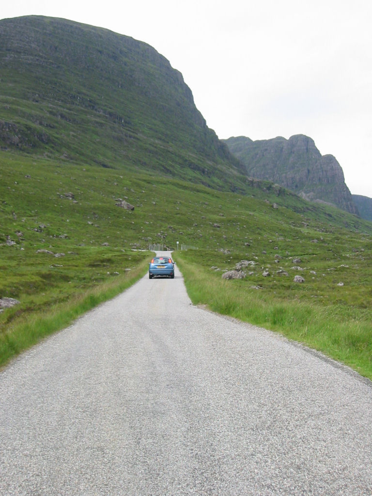
 North of Fort William, we drove north-west along highway A87 into the Scottish Highlands.
For 75 km, we saw no sign of any habitation. In Scotland, most of the people live near the sea.
North of Fort William, we drove north-west along highway A87 into the Scottish Highlands.
For 75 km, we saw no sign of any habitation. In Scotland, most of the people live near the sea.
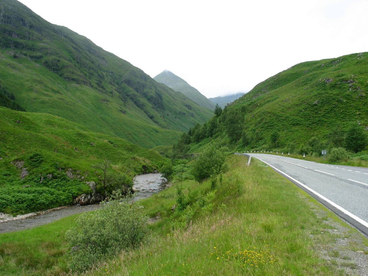
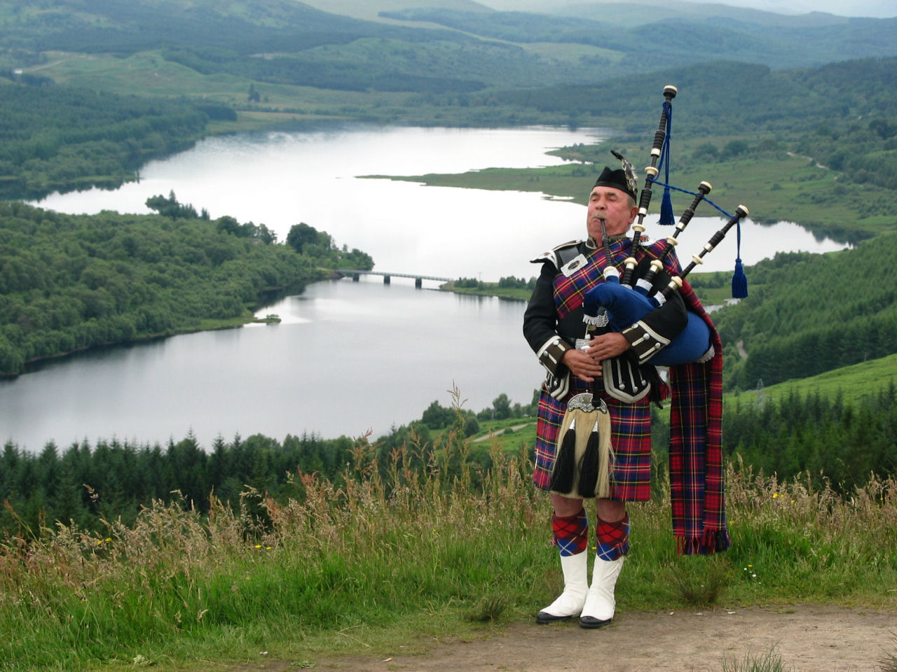 Lochawe (in the Highlands). This bag-piper had a basket out for collections and was doing a fairly
good busines, since many tourists were stopping at this beautiful view. We later saw his picture on a postcard.
Lochawe (in the Highlands). This bag-piper had a basket out for collections and was doing a fairly
good busines, since many tourists were stopping at this beautiful view. We later saw his picture on a postcard.
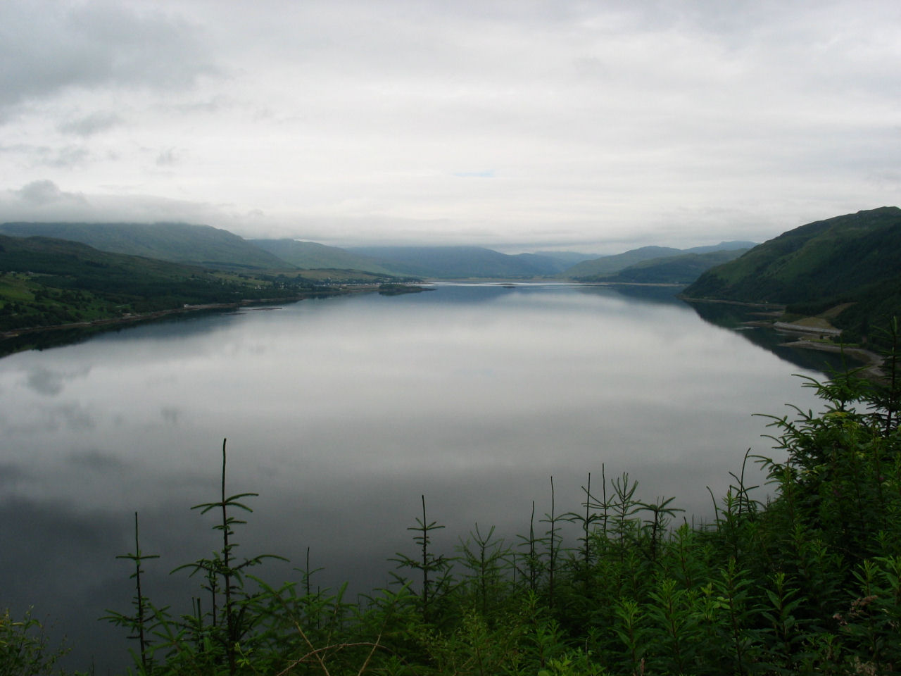 Loch Carron (in the Highlands)
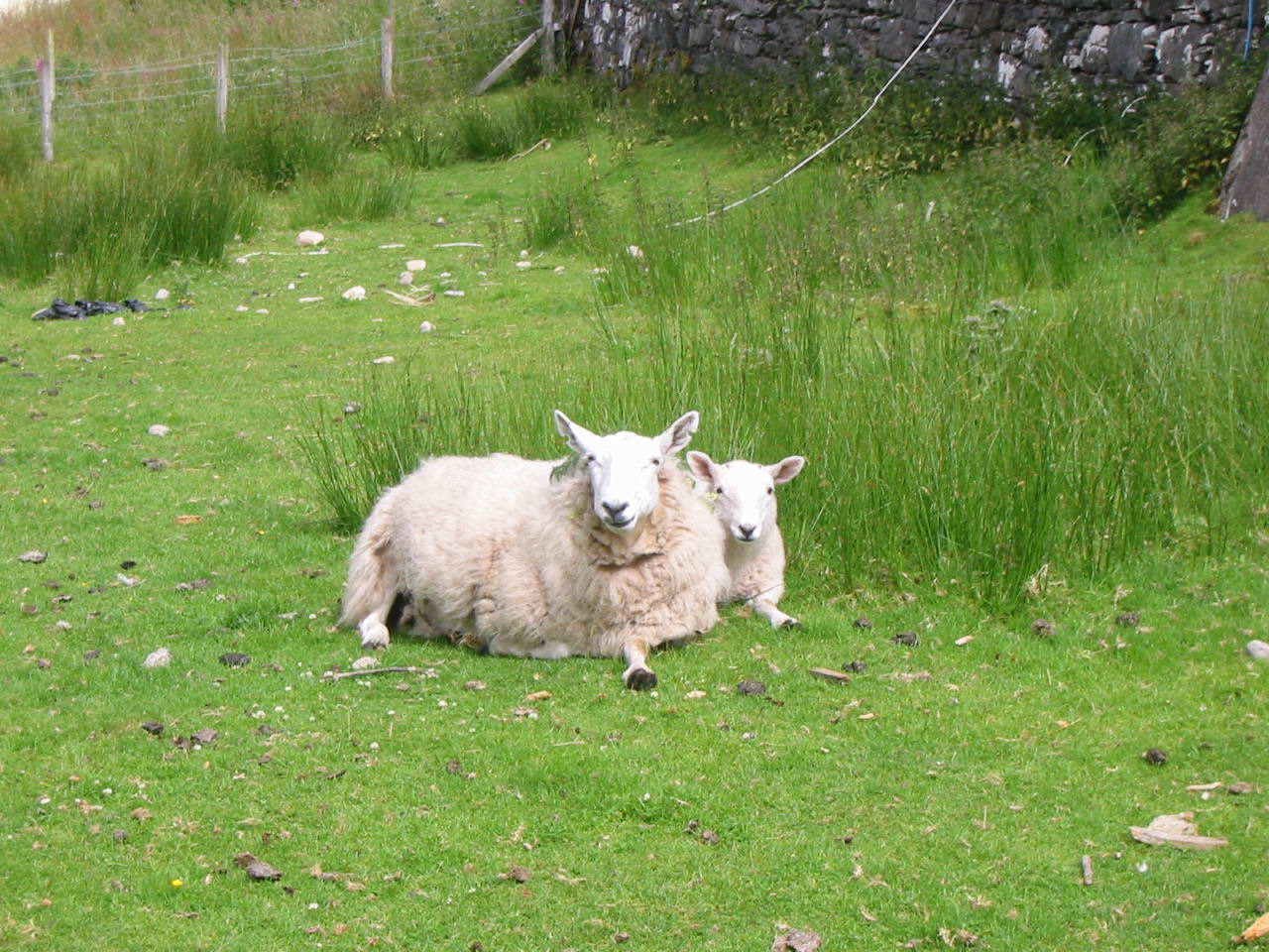
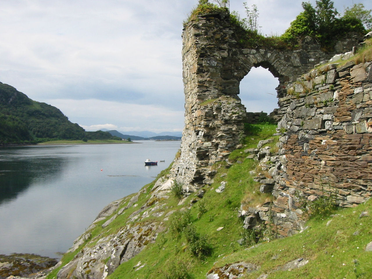 This is Strom Castle, located on Loch Carron. It is one of the many broken down, but beautiful, relics left.
We also found a sheep and her lamb wandering around the premises.
This is Strom Castle, located on Loch Carron. It is one of the many broken down, but beautiful, relics left.
We also found a sheep and her lamb wandering around the premises.
 We also found a sheep and her lamb wandering around the premises.
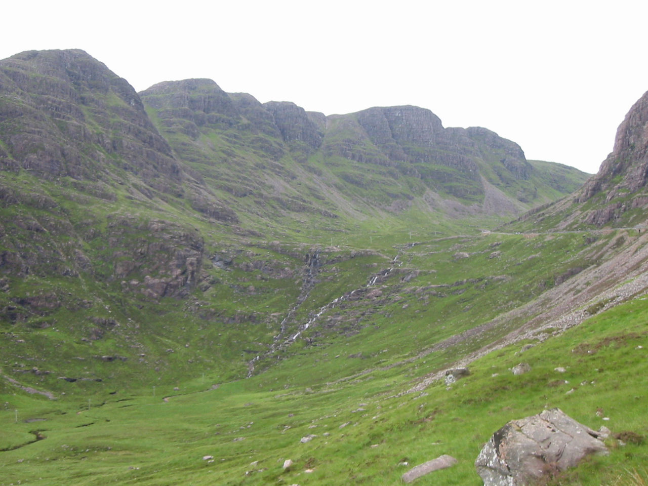 Applecross Coastal Road, top right, is the scenic route through a mountain pass.
 Next |